Cudi Dagh and the End of the Flood
My video presentation for the ISMANA 2026 symposium on Mount Ararat and Noah’s Ark in Agri
15. October 2026
Deutsche Fassung dieses Beitrags
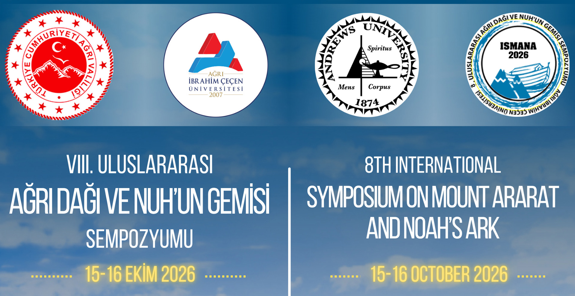
Today, 15 October 2026, the 8th International Symposium on Mount Ararat and Noah’s Ark (ISMANA 2026) began at Ibrahim Çeçen University in Agri. I had submitted an abstract and was invited to give a presentation on it: »Cudi Dagh as a Possible Landing Place of Noah’s Ark and Its Significance for the End of the Flood«. Because I registered at very short notice, I could not travel to Agri in person – so I produced and sent in a ten-minute video presentation.
Randall Younker and Doug Zinke of Andrews University drew my attention to the symposium after hearing my lecture at the geoscience conference in Wuppertal, Germany (in German) in September. Remarkably, Agri lies at the foot of Agri Dagh, the traditional »Ararat« – and yet Cudi Dagh is discussed in several contributions at this symposium, including Randall Younker’s keynote »Studies on Mount Ararat and Mount Judi«.
Watch the presentation
Subtitles in English, Turkish and German can be selected via the subtitle icon in the player.
The main points in brief
The »Ararat problem«: The mountains of Anatolia were folded in the Tertiary. Agri Dagh itself is a young volcano, built on top of Flood sediments; creationist geologists like Andrew Snelling therefore conclude that the Ark must have landed on another high mountain in the region. The German scholar Manfred Stephan called this the »Ararat problem«. Strictly speaking, the Bible speaks of the »mountains of Ararat« in the plural – a region, not a single peak.
A tradition through the centuries: The tradition pointing to Cudi Dagh near Sirnak and Cizre is remarkably continuous. Even cuneiform texts suggest that Cudi Dagh is meant. King Sennacherib carved reliefs on the mountain, Berossos and Josephus report remains of the Ark in the Gordyaean mountains, the Aramaic and Syriac Bible tradition renders »Ararat« as Qardu, Christians built a monastery on the summit in the 4th century, the Qur’an names al-Jūdī, and Ali Ibn al-Athir locates it »in the land of Mosul«. To this day, a pilgrimage festival takes place there.
The geology: The German geologist Friedrich Bender described Cudi Dagh as a »south vergent anticline« of Jurassic and Cretaceous limestone. In my model, presented in my book and in my Wuppertal lecture, this limestone was laid down in the Mesozoic, before the Flood, and folded in the Tertiary – possibly during the Flood. When the Ark landed, the conditions were met: stable rock, folding completed, a mountain already shaped by erosion. The terraces of the Tigris formed only in the Quaternary, as the waters drained away. Thus the end of the Flood can plausibly be correlated with the transition from the Tertiary to the Quaternary – an answer to the Ararat problem.
The onset of the Flood: It cannot be located at Cudi Dagh. As a working hypothesis, I propose the boundary between the Cretaceous and the Tertiary, with the great impact and the extinction of the dinosaurs. This would solve many problems of models that assume a single Flood year as the time of deposition for almost all rock layers.
Conclusion: »If the Ark existed, Cudi Dagh is the candidate that fits both, history and geology.« However, if evidence of the Ark were found on Agri Dagh or at the Durupinar formation (in German), that would be a great discovery for all of us – and I would be among the first to change my mind. Until then, I think Cudi Dagh has by far the better arguments.
What comes next?
I am currently working on my full paper for the symposium proceedings. I will publish a German version here on bibelabenteurer.de in advance.
Timo Roller, author of the book »Das Rätsel der Arche Noah« (»The Riddle of Noah’s Ark«)
See also: Video of my presentation at the Ibn al-Athir Symposium in Sirnak 2025 and Pilgrims to Noah – The History of Pilgrimage to Cudi Dagh, the Mountain of the Ark